Sheffield city map: choose a printable centre map or searchable campus routes
Use the Sheffield city-centre PDF for easy printing, or the interactive University of Sheffield campus map to find buildings and routes. Choose coverage based on your destination, then confirm travel info separately.
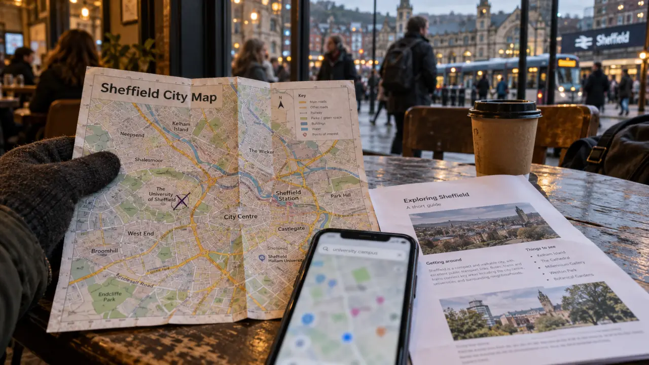
For a Sheffield city map, open Welcome to Sheffield’s city map page or download the Sheffield city-centre PDF. For university buildings and facilities, use the interactive campus map available through the University of Sheffield’s maps and travel page. Choose the format around your destination: a printable overview and a searchable campus map serve different purposes.
Sheffield map options: start with the journey you need
A map is most useful when its coverage matches your plans. Someone visiting a university building needs a precise location; someone spending time around the centre may prefer a street overview. Before downloading anything, check that your destination appears within the map’s boundaries.
These resources offer different starting points. The University of Sheffield brings together interactive campus mapping, a city-centre map and a central Sheffield map on its visitor maps page.
| Resource | Useful for | Where to open it |
|---|---|---|
| City map page | A general visitor starting point | Welcome to Sheffield |
| City-centre PDF | A saved or printed overview of the centre | Open the PDF |
| Interactive campus map | Finding university buildings and facilities | University maps and travel |
| Central Sheffield map | Checking the wider area around a central destination | University map downloads |
Do not assume that a campus map covers every destination in Sheffield. Use it for university-related locations, then switch to a broader map when your journey extends beyond that purpose.
Map of Sheffield, England: download and print the right area
The University of Sheffield lists a city-centre PDF at 360KB and a central Sheffield PDF at 808KB. These are separate downloads. Check the preview before saving either file, rather than relying on the similar names to decide which one you need.
For direct access to a printable centre map, the Sheffield City Centre PDF is another option. Open it first and check whether the streets and labels you need remain readable at your intended print size.
- Save the PDF to your device and test that it opens before leaving.
- Use print preview to check orientation and avoid cropping the map edges.
- Keep a full-area copy for orientation, even if you also print an enlarged detail.
- Write your destination’s building name and address beside the map.
Treat your annotations as a small colour palette: one colour for your destination, another for your arrival point and a third for a fallback meeting place. Add a word or symbol to each mark so the distinction survives a black-and-white printout. This makes a busy map easier to scan without obscuring street names or relying on colour alone.
Find university buildings and facilities on the map of Sheffield
The University of Sheffield’s interactive campus map supports finding buildings and locations, including student accommodation, food and drink outlets and prayer rooms. It is a more targeted starting point for a campus appointment than a general visitor map.
Search using the building name in your appointment or visit instructions. Once you have found it, check nearby facilities relevant to your visit. Accommodation and teaching locations should be checked separately; finding one does not establish where the other is.
The university’s mapping resource also provides route guidance through Google Maps. Confirm the selected destination before starting directions, particularly when your instructions name a specific building rather than simply the university.
For a visit involving several stops, save the names in the order you intend to reach them. Keep any entrance or accessibility instructions from your host alongside the map: a location marker should not be treated as confirmation of the appropriate entrance or a step-free route.
Sheffield on a map: check the journey as well as the destination
Finding a place is only the first part of planning your journey. For public transport, check current travel information separately from a saved PDF. The university’s maps and travel page also directs visitors towards local public transport information. A printed street map is useful for orientation, but should not replace a current service check.
Drivers should also check the Sheffield Clean Air Zone before travelling. The university’s visitor guidance states that private cars are exempt from charges, while non-compliant vans, camper vans and other light goods vehicles may be affected. Follow its signposting to Sheffield City Council’s vehicle-status information to check your particular vehicle.
Do not infer a charging boundary from an ordinary city-centre map. Keep the vehicle check separate from route planning, and confirm the destination, travel arrangements and saved map before setting off.